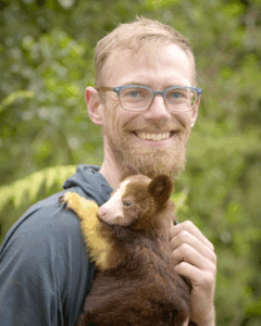
Jonathan Byers
 Jonathan is an independent consultant supporting rapid response and mapping projects. He brings a diverse background in data science, cartography, visual communication, and community conservation.
Most recently he worked as a GIS Analyst for the US Forest Service Pacific Southwest Region doing fire risk analysis, species distribution modeling, and archaeological site mapping for landscape scale projects. Previously, as the Landscape & GIS Program Manager for the High Carbon Stock Approach, he developed fire and deforestation alert and monitoring systems, implemented field plot data collection and global scale HCS maps using machine learning, and developed guidance for corporations on implementing zero deforestation commitments at landscape and jurisdictional scales with projects in Indonesia, Malaysia, Ecuador, Peru, Mexico, and Ghana.
His masters research studied the habitat and behavior of the endangered Matschie’s tree-kangaroo in Papua New Guinea using Remotely Piloted Aircraft Systems (RPAS), GPS collars, and satellite mapping to assist community conservation efforts. He is also an internationally published photographer and Emmy-nominated filmmaker and with clients including PBS Nature, National Geographic, CNN, NBC, and Patagonia.