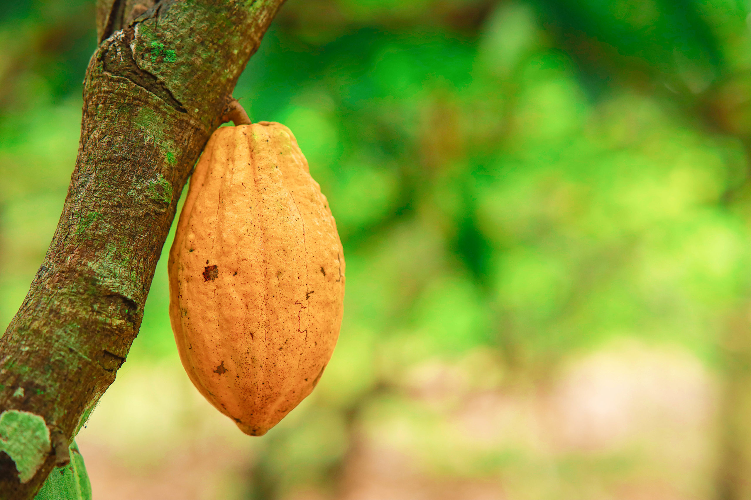
Rapid Response: Cocoa
This interactive map offers a comprehensive visualization of open-source and manually compiled layers intended to help monitor deforestation potentially related to the cocoa industry across Ghana, Cote d’Ivoire and Cameroon. We publicize cocoa supply chain data – which covers more than 2000 cocoa cooperatives – from nearly every major cocoa and chocolate company operating in the region, visualizing company proximity to mapped cocoa farms as well as ongoing deforestation in the three nations.
Why an accountability map?
In November 2017, as part of the Cocoa and Forests Initiative (CFI), leading chocolate and cocoa companies and the governments of Côte d’Ivoire and Ghana committed to stopping deforestation for cocoa. To meet this commitment, they also promised to implement a joint-monitoring mechanism. More than six years later, no such system has been created.
In the absence of action by the industry and the Government, Mighty Earth has created what is, in essence, a publicly-available joint-monitoring mechanism: The Cocoa Accountability Map, first published in January, 2020. Our intention is to encourage companies, government regulators, and consumers to use this map to end deforestation by logging and responding to deforestation alerts. We urge companies to use this tool to meet their strong commitments to traceability and transparency, with the hope that this move towards openness will spread throughout the industry.
What’s new?
Our Cocoa Accountability Map has undergone significant enhancements. Now powered by Google Earth Engine, it offers a comprehensive visualization of open-source and manually compiled layers to track deforestation across Ghana, Cote d’Ivoire, and Cameroon, serving to hold cocoa companies accountable to their no-deforestation commitments.
WHERE DOES THE DATA COME FROM?
COCOA FARMS
We draw on several resources to highlight the location of cocoa in the region:
- Abu et al. (2021) document remotely-sensed cocoa farms, visualized in yellow on our map.
- In Côte d’Ivoire, we also offer a visualization of a remotely-sensed land use dataset created by Vivid Economics as a part of the IMAGES platform.
- “The Cocoa Deforestation Risk Assessment (Cocoa DRA) [from the World Resources Institute] is a map layer that identifies the risk of future deforestation events linked to cocoa in Côte d’Ivoire and Ghana.” The DRA is based upon a compilation of cocoa farm boundaries based on data submitted by 17 leading cocoa and chocolate companies.
- In Cameroon, we deployed the Forest Data Partnership’s Cocoa Probability Model expanding beyond the published maps for Ghana and Côte d’Ivoire. Built through a community-driven approach, the model integrates over 3 million training samples from diverse sources, including mapped cocoa plots from WRI, land cover data from BNETD-CIGN, agroforestry inventories from CIRAD, and field surveys from COCAFORI.
COMPANY SOURCING DATA
Mighty Earth’s main contribution to the data involves the sourcing locations of major chocolate companies. Together with researchers at Trase, Mighty Earth compiled and georeferenced the locations of cocoa cooperatives and first points of purchase across Côte d’Ivoire, Ghana and Cameroon. The specific methodological details vary based on the nation of origin.
FOREST COVERAGE
We visualize two different forest base maps:
- The first is derived from Reiche et el. (2021), which is based on “the primary humid tropical forest mask from Turubanova et al (2018) with annual (Africa: 2001 – 2018) forest loss (Hansen et al 2013) and mangrove (Bunting et al 2018) removed.”
- The second is the proposed forest base map to ensure EUDR compliance, compiled by the European Commission in conjunction with the Joint Research Center.
DEFORESTATION MONITORING
We use two different datasets for visualizing forest loss alerts:
- RADD alerts to highlight ongoing instances of deforestation and forest degradation. These alerts were developed by researchers at “Wageningen University, in collaboration with World Resources Institute‘s Global Forest Watch program, Google, European Space Agency, University of Maryland and Deltares.”
- The UMD Forest Loss dataset documents historical forest loss on an annual basis between 2001-2022. Users can turn this layer on to visualize the scope of West African forest loss since the turn of the century.
For data inquiries, contact [email protected]
For more information, see our Cocoa Resources Page